The Wreck Viewer app has been developed to facilitate online viewing and querying of the National Monuments Service’s Wreck Inventory of Ireland Database (WIID). Development of the Wreck Viewer is ongoing and the app should not be relied upon as a definitive listing or display of all known wreck data. Records will be added to, refined and updated on an ongoing basis and as new information becomes available.
Launch the Wreck Viewer application
Download Wreck Viewer User Guide
Note on Information included in Wreck Viewer
The Wreck Inventory of Ireland Database (WIID) holds records of over 18,000 known and potential wreck sites in the marine and inland waterways of Ireland. The WIID includes all known wrecks dating to pre-1946 but some later wrecks are also included. The database also includes records of aircraft wrecks where these have come to attention. Wrecks in the database date to all periods; the earliest vessels represented being prehistoric logboats which are primarily found within Ireland’s inland waterways.
Information in the WIID is derived from a wide variety of sources, including: UKHO wreck data; the National Museum of Ireland; 18th and 19th-century surveys and sea charts; Lloyd’s List and Lloyd’s Register of Shipping; historic newspapers; parliamentary papers; local and international journals; fishermen’s marks; charts and cartographic sources.
Important information on wrecks has been collected during targeted fieldwork carried out by the National Monuments Service’s Underwater Archaeology Unit (UAU), drawing on first-hand accounts from divers, fisher folk, coastal walkers, independent archaeologists and other marine and inland-waterways users. Wrecks located during the extensive seabed mapping programme carried out by the Geological Survey of Ireland and the Marine Institute as part of the INFOMAR project is also an important dataset included in WIID.
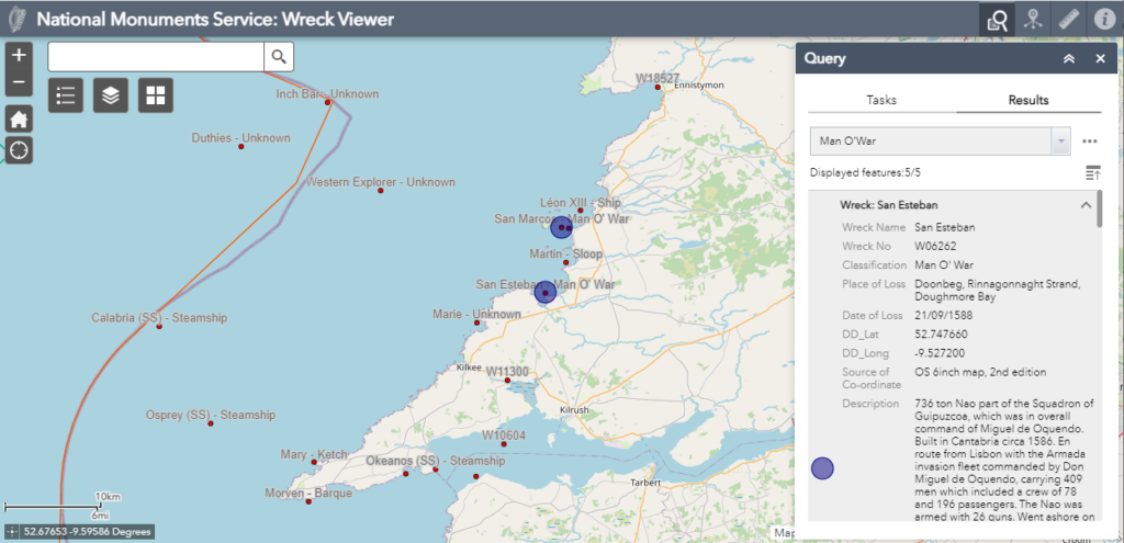
Please note: the Wreck Viewer displays only wrecks contained in the WIID for which there is a recorded known location (c. 4,000 wreck entries); these are represented on the map canvas as red dots. The dot equates to the known approximate centre point of the wreck and is not indicative of its geographic or spatial extent. Wrecks with known locations account for approximately 22% of the total number of records contained in the WIID. This means that there are approximately 14,000 wrecks in our database that have no recorded location or for which a location has yet to be confirmed Information on precisely located wrecks and documented wrecks, which do not yet have a precise location, can be downloaded from the Wreck Viewer via the ‘Wreck Data Download’ link on the banner/header of the Wreck Viewer. Unlocated wrecks are not displayed in the viewer, but information on them can also be downloaded via the same link.
The Wreck Archive contains more than 18,000 paper files that hold information relating to each individual wreck recorded in the WIID. The paper files can be consulted by prior arrangement with the NMS Archive Unit.
The NMS endeavours to ensure that the information on the Wreck Viewer is as accurate as possible. Any information that can clarify positions or confirm new discoveries is appreciated, and new information will be added to the Viewer on an on-going basis as it becomes available.
Terms and Conditions of Use
Please note: a copyright and attribution statement applies when using the Wreck Viewer. It covers both National Monuments Service and third-party copyright, for example base maps provided by ESRI. On launching the application, users will be requested to acknowledge and accept the Terms and Conditions.
Open Data Access
The datasets featured in the Wreck Viewer are available to download via our Open Data page.